.jpg)
Zard kooh Mountain
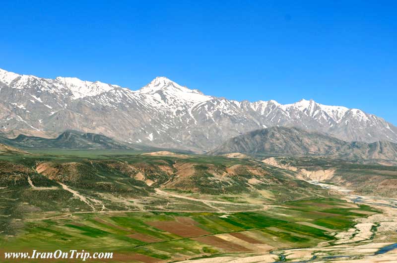
Zard Kooh is a mountain in the central Zagros Range, Iran. It is located in the Zagros Mountains in the Chaharmahal and Bakhtiari Province of Iran. The Karun and also Zayanderud rivers start in the Zagros mountains near the Zardkuh.
Elevation: 13,780' (4,200 m)
Prominence: 6,873' (2,095 m)
Mountain range: Zagros Mountains
Zard Kooh-e-Bakhtiary
Zard Kooh, ZardKooh, Zard-Kooh, Zard Kouh, ZardKouh or Zard-Kouh or the full name Zard Kooh-e-Bakhtiary is not the name of a individual peak but it's one the most great and famous sub ranges of Zagros range, the terms mean "The yellow mountain of Bakhtiarys". (I'll shorten the name to ZK in follow...)
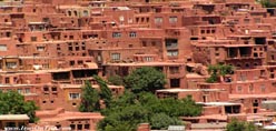
The mountain is located in Chaharmahal-e-Bakhtiary province (The cold season starts October, coldest -15 centigrade warmest 35.5 centigrade average 10.3 centigrade) near Shahr-e-kord and Koohrang cities, probably one of the most beautiful places of Iran, ZK is the source of two most major rivers of Iran Karoon and Zayandeh-roud of Isfahan.
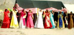
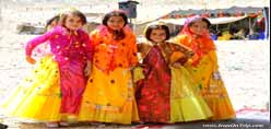
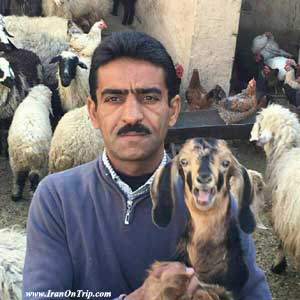
Chaharmahal-e-Bakhtiary people and nomads are the most nice people, they believe to be the best to the guests... ZK is the warm season source of the Bakhtiary nomads who deal with the hard mountain conditions. They breed sheep and goat and produce the best meat, wool, natural diary products and hand works. Bakhtiary's Kebab is one of the best Iranian foods you can have the original versions in this place.
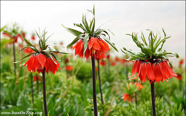
inverted tulip which grows abundantly on the slopes of Zardkooh (Yellow Mountain). This flower is unique to Iran.
Most high known peaks
The ZK sub range is made by a long north-west oriented to south-east ridge line with few sub ridges or parallel ridges. The ridge line can be divided into five sections with the following peaks located on each section.
ZK geographical location is 49:30 to 50:20 E and 32:05 to 32:55 N.
Normal routes are easy you will need suitable clothes and boots, tent and other equipments. But for routes marked you will need special equipment such as carbines, crampons, piton, hammer and etc.
north to south:
E-U-Lack:
The most north part. West to Sheikh-Ali-Khan village, E-U-Lack glacier and Koohrang river valley. The rocky block Haft Tanan is the most impressive and highest peak of this part, having the great wall at west, using the normal route from Koohrang valley still is the easiest peak to climb, the other peaks are not easy and may need some technical climbing. The E-U-Lack is a twin peak !
Peak Name Height (m) Start point
Kaino Peaks 3788m 1
Haft Tanan 4019m 2
un named peak 3820m 3
un named peak 3900m 3
E-U-Lack 3700m 3
Ab-Sefid and Lasouzeh:
The ZK ridge between E-U-Lack and Sardan peaks has some 3900m peaks which are named Lasouzeh peaks with the highest being 3980m, this peak serves a branch which is parallel to the main ZK ridge line and west to Koohrang dam lake named Ab-Sefid peaks with the highest 4050m point. the valley between these ridge lines is named Lasouzeh valley.
Peak Name Height (m) Start point
Lasouzeh 3988m 4
Ab-Sefid 4050m 4
a Lasouzeh peak 3900m 4
a Lasouzeh peak 3900m 4
a Lasouzeh peak 3920m 4
Central part:
This is the most impressive part of ZK, the twin Dozardeh peak (Big Kooloonchin + Small Kooloonchin) is the highest peak of ZK. The north face of these peaks shape some big walls, there are some glaciers under the walls as well, Poursounan glacier is the largest one under the 4100m peak. The normal routes to these peaks are easy except the 4100m peak which is not easy.
Peak Name Height (m) Start point
Sardan 3950m 5
Shah-e-Shahidan 4180m 6
un named peak 4000m 6
un named peak 4100m 6
Koloonchin (Do-Zardeh) 4221m 6
Khersan 4050m 6
un named peak 4000m 6
un named peak 3 800m 6
Chery peaks:
Located west to Koohrang river valley and north-west to Birgan's nomads place, Bazoft valley located west to Chery peaks is the deepest valley of the ZKs. The tallest Chery is named East Chery and is about 4075m high, the others are about 10m~20m lower are named West Cherys.
Peak Name Height (m) Start point
W 4010m 7
E 4075m 7
W 4050m 7
W 4000m 7
W 4010m 7
Darvish Kezli 3900m 7
Meelly mountain:
End part of the ZK trail, Lashtar area at south, Bazoft valley at west, Koohrang river valley at east and Rostami & Do-Ab-e-Samsami villages at north.
Peak Name Height (m) Start point
West Meelly 3850m 8
Meelly 4000m 8
East Meelly 3700m 8
Objects
Glaciers
E-U-Lack glacier north-east/under the E-U-Lack peaks
Poursounan glacier north-east to Dozardeh peak
Khersan glacier
Khortab-Sar glacier
Ghanbarkesh chal glacier
Mishan glacier
Kino glacier
Huts
Chal-Mishan hut at 3700m - a metal hut on the Koohrang to Shah-e-shahidan peak route
Koloonchin hut at 3850m - on the Khersan to Koloonchin route
Haft-Tanan hut at 3300m - on the route to Haft-Tanan peak
Walls
Most of the ZK peaks are sheer at bottom and ragged and rocky at top having one or some walls -ready for technical climbs- before their peaks, but the most known ones are (the names show which peak they lay at):
Shah-e-Shahidan 250m wall at 4180m
Haft-Tanan 350m wall at 4019m
Koloonchin 150m wall at 4221m
Sardan 150m wall at 3950m
Do-Zardeh 150m wall at 4100m
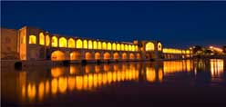
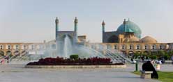
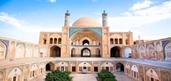
About Iran and Chaharmahal-e-Bakhtiary
[I added this section to give a small glance to people who want to travel to Iran]
Iran is high plane hosting two vast ranges of mountains Alborz and Zagros including hundreds of 4000+m summits. Even taught there are two big deserts in the middle of Iran still it's been said 3/4 of the plane is covered by mountains, there are still lots of 4000+m and 3000+m outside the Alborz and Zagros ranges scattered all over the Iran plane like Kerman mountains and Taftan volcano, the weather varies from dry hot to mountain conditions and to the thick green lush and humidity of the north Caspian sea coast.
The behavior of Iranians is friendly and they are helpful to foreign people from Europe and America (this friendly behaves may no be applied to Arabs), you can quickly make a friend who would be glad to guide you and stay beside you and invite you to his/her home.
The pipe-supplied and mineral water and food served in restaurants and supplied from stores is safe (avoid food from road sellers in downtown).
Security is granted by the police, there are two kind of polices in Iran the green ones and the blue ones, blue is only for traffic control, greens are for security and criminal matters.
Alcoholic drinks are forbidden in Iran, Christians won't be punished for carrying, anyway most people use drinks in their house and parties illegally and they have their own illegal alcohol suppliers who supply drinks from Iranian native drinks to Russian and western drinks, if you needed drinks you can easily find it illegally.
.....
.....
.....